Google’s Forest Map Separates Natural Forests From Plantations—At 10-Meter Detail
The ForTy map classifies global forest and land-use types, but a high-resolution pixel is a monitoring clue, not a plot-level legal verdict.
On this page
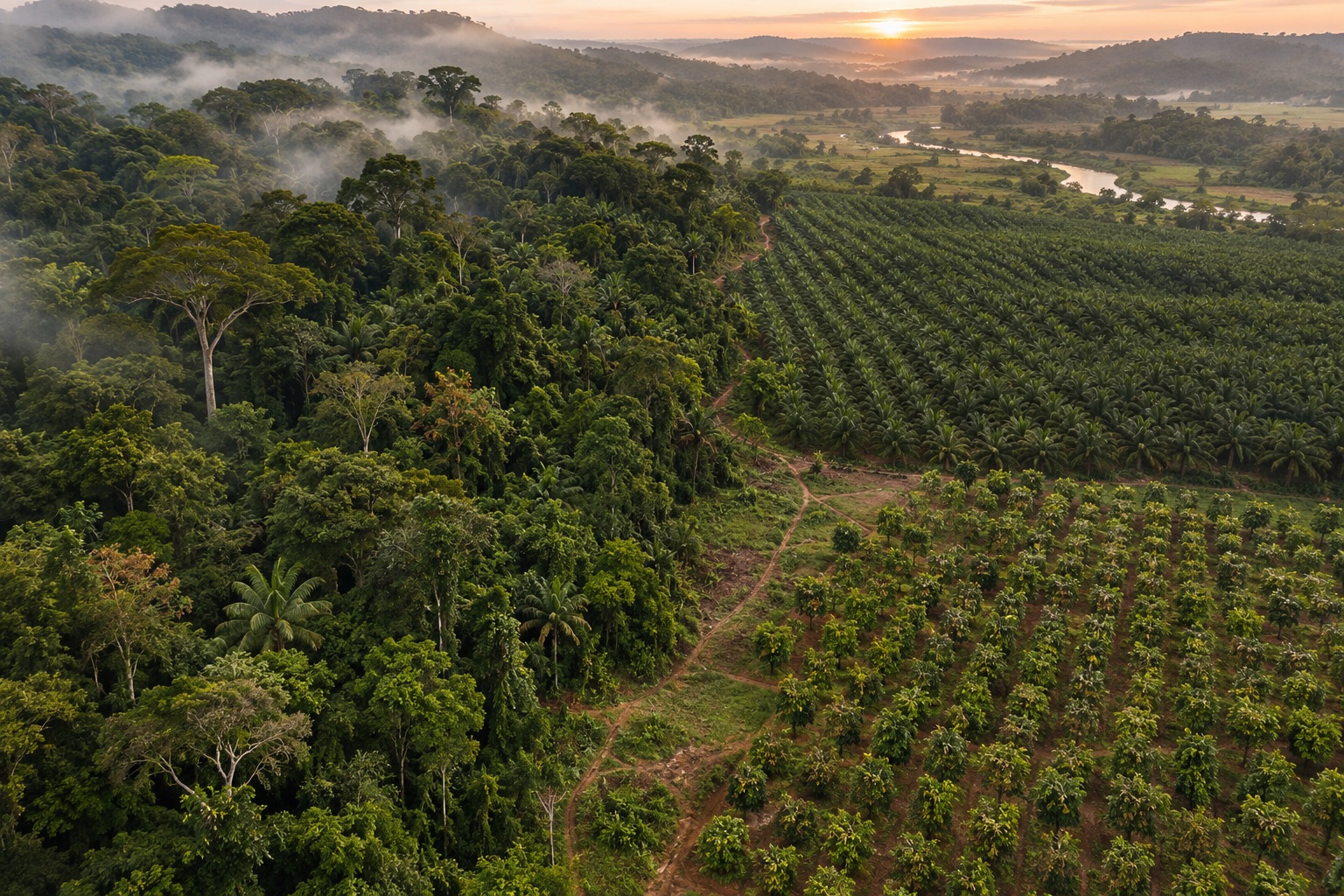
From above, a mature forest and a commercial tree plantation can both look like green canopy. Their ecological roles, histories and legal relevance may differ sharply. Google’s new ForTy dataset tries to make that difference visible at a global scale, turning satellite and geospatial inputs into forest-type classes. The resolution is striking; the map’s limits are just as important for anyone using it to guide conservation or supply-chain decisions.
Why a tree-cover map can miss the point
Google DeepMind’s October 22 announcement describes Forest Typology (ForTy) 2020 as a global classification at 10-by-10-meter grid spacing. It distinguishes six categories: primary forest, naturally regenerating forest, planted forest, plantation forest, tree crops and agroforestry, and other land. The project partners include Google Research, the World Resources Institute and the International Institute for Applied Systems Analysis.
That distinction matters because canopy presence alone cannot tell whether an area is an intact natural ecosystem, a planted timber stand or an agricultural tree crop. The map also comes with an early annual series from 2017 through 2025, intended to show what may have replaced forest over time. The open dataset repository provides code and data access details, including the benchmark data used to train and evaluate classification models.
Ten-meter spacing is not ten-meter certainty
A 10-meter grid tells readers the spatial sampling scale, not that every cell is correct. The map is a model output assembled from remote-sensing inputs and labels; class boundaries can be uncertain where landscapes mix, cloud cover limits observations, or the reference data are sparse. The project’s ForTy benchmark paper addresses the challenge of distinguishing forest types and describes its global dataset. Even a well-performing model remains dependent on definitions, training labels, geography and the period being mapped.
That is why users should inspect metadata, confidence information and validation before treating a change as fact on the ground. A map is useful for directing attention: where should analysts investigate, compare imagery or request a field check? It is weaker as a standalone answer to who owns a parcel, what a product contains, or whether a particular shipment meets a legal requirement.
A baseline for monitoring, not a compliance certificate
The European Commission’s EUDR guidance sets due-diligence obligations for covered commodities and products. Geolocation and supply-chain information matter to those obligations. A public global map may help organizations prioritize risk reviews and understand land-cover context, but it cannot replace product-specific traceability records or determine legal compliance on its own.
Google frames ForTy as a potential baseline for the EU deforestation regulation, not as a substitute for the regulation’s due diligence. The two can complement each other: a standardized map can help locate possible land-use change, while operators still need to connect a product to its origin and verify the relevant facts. That is especially important when a pixel falls near the boundary between natural forest, plantation and agriculture.
The best near-term use is therefore analytical. Conservation groups can compare regional patterns; researchers can test methods against an openly described benchmark; and supply-chain teams can use map signals to prioritize checks. Each should document the map version, date and confidence, then verify consequential findings with more specific evidence. Our coverage of Earth AI geospatial agents discusses a related but distinct question: how tools can help analysts investigate geographic information without turning an answer into a substitute for source data.
Frequently asked questions
What does the ForTy map classify?
Google and its research partners describe a 2020 global map at 10-meter resolution with six forest and land-use classes, plus an early annual change series from 2017 through 2025.
Can a pixel prove a product complies with the EU deforestation regulation?
No. A map can support screening and monitoring, but legal due diligence depends on the applicable rules, product records and plot-level geolocation evidence. A classification is not a regulatory decision.
Is the 10-meter map a direct satellite photograph?
No. It is a model-derived classification assembled from satellite and other geospatial inputs. Resolution describes the grid spacing, not the certainty of every pixel.
Sources & further reading
Keep reading

NIST’s Federated-Learning Testbed Puts Privacy Claims on a Measurable Track
NIST compares federated learning and differential privacy on soybean genomic data, while showing that local records do not guarantee privacy.
NIST INSIGHT Builds Indoor Maps First Responders Can Query Before a Call
NIST’s INSIGHT research turns building scans into structured indoor scene graphs for pre-incident planning, with human review still central to operational use.

Anthropic’s Science Study Shows Where AI Helps—and Where Labs Still Wait
Anthropic analyzed 207,049 Claude research sessions. Use centers on analysis and writing, while physical research tasks remain harder to automate.
/* Comments */
Comments are offline right now — we reconnect automatically, nothing is lost.