ESA's Grid Resilience Call Asks Where Satellites Can Help After a Disruption
ESA's new proposal call explores satellite data and communications for grid resilience, while leaving control and procurement decisions with utilities.
On this page
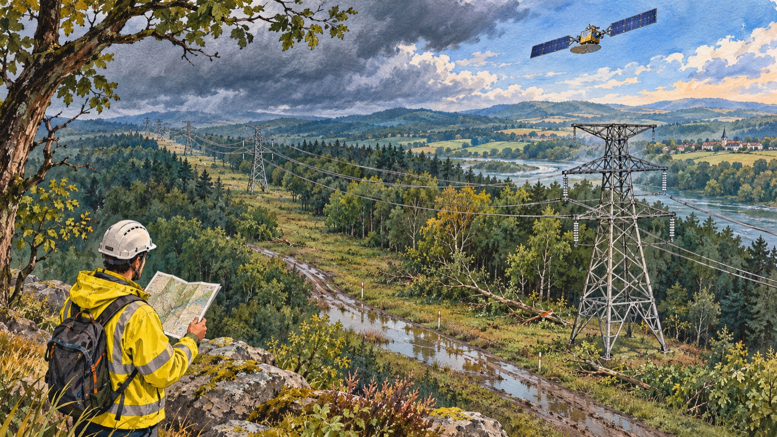
A storm can damage roads, substations and communications at once, leaving grid operators to build a picture from incomplete reports. The European Space Agency’s new Space for Resilient Grids call asks whether satellite-based services can improve that picture and support response. Its value will depend on a specific operational need, not on the word “space” alone: the call seeks proposals and makes no commitment to buy, pilot or endorse a solution. [1]
What ESA is inviting
The call is organized into themes and proposal windows, with the first theme open from November 4, 2026 through January 29, 2027, and a second window scheduled for February through April 2027, according to ESA’s current page. Applicants should confirm the live dates and eligibility requirements before preparing a submission. The program is designed to develop space-enabled services with users, rather than announce an already deployed grid product. [1]
Potential contributions include Earth-observation information about hazards and affected infrastructure, satellite connectivity for locations where terrestrial communications are unavailable, and positioning or timing services for monitoring. ESA’s Copernicus emergency services already illustrate how satellite-derived information can support response organizations with mapping products. But disaster mapping is an input to situational awareness; it is not a grid-control command. [2]
Why more visibility helps, and where it stops
After a major event, operators need to know what is damaged, what remains connected and where crews can safely work. Satellite data can cover broad areas and add context when roads or local communication infrastructure are disrupted. A service that combines it with utility telemetry and field reports might help prioritize inspections or identify where information is missing.
The limits are equally important. Optical imagery can be blocked by cloud cover, data acquisition and processing take time, and satellite links do not replace local protection systems that isolate faults in milliseconds. Grid stability depends on specialized measurements, models, control rooms and coordination across operators. ENTSO-E’s analysis of the 2025 Iberian blackout and its work on instability detection describe technical challenges that cannot be solved by a satellite image alone. [3] [5]
A proposal should therefore name a real decision: for example, which area to inspect first, how to restore communications to a field team, or how to compare an observed hazard footprint with known assets. It should state who acts on the information, how quickly it arrives, what happens when it is unavailable, and how the result enters existing utility workflows. A dashboard without an operational owner is not resilience.
A credible demonstration can be scoped around one hazard and one operating decision. For a flood, a team might compare satellite-derived inundation estimates with asset maps and utility reports, then measure whether the information changes inspection priority. For a communications outage, it could test whether a satellite link actually reaches the crew and data system that need it. In both cases the evaluation should report latency, coverage gaps, confidence and failure handling. Grid operators also need clear data ownership and cybersecurity treatment; resilience services become part of the response workflow even when they never issue control commands.
Demonstration is not procurement
ESA’s call says explicitly that it does not imply a commitment to purchase, pilot or endorse services. That boundary protects readers from mistaking a funding opportunity for an operator deployment. Proposals may help test whether a service is technically useful and commercially viable, but the call page alone does not establish that any grid operator has adopted one. [1]
This is a familiar challenge in critical infrastructure technology. A demonstration can prove that a data feed works under selected conditions while leaving unanswered questions about service-level availability, cybersecurity, data rights, integration costs and responsibility during an outage. Digital-twin work across transmission and distribution operators similarly frames use cases and coordination questions rather than a universal ready-made control layer. [4]
A better test for satellite-enabled resilience
The strongest proposals will start with the user and failure mode, then show where space-derived information changes a decision. They should compare the service against existing telemetry and communications, test degraded conditions, and make latency and confidence visible. If satellite data adds a useful fallback or speeds a field response, that is a concrete resilience gain. If it merely duplicates a map already available to the operator, the operational case is weaker.
The call creates a path to investigate that distinction. It is a timely opportunity for utilities, space-service companies and emergency planners to design together, while the actual responsibility for operating the grid remains with its established operators and control systems. Crashtech has also examined the terrestrial side of grid pressure in Google’s Malaysia data-center expansion and virtual power plants as demand-response tools; those stories show why resilience depends on coordinated assets, forecasts and operating decisions.
Frequently asked questions
Has ESA deployed a new satellite system to operate power grids?
No. ESA's Space for Resilient Grids page is a call for proposals. It invites organizations to develop and demonstrate concepts using space-enabled services; the call explicitly does not commit ESA or grid operators to purchase or deploy a solution.
How could satellite services support electricity-grid resilience?
Earth observation can add wide-area information about hazards and damage, satellite communications can provide connectivity where terrestrial links are impaired, and positioning or timing services can support some monitoring needs. Utilities still rely on grid sensors, protection and control systems to operate the network.
What should applicants verify before proposing a grid satellite service?
They should identify the operational user, the specific decision improved, data latency and availability, integration with utility systems, and how the service performs when ground infrastructure is disrupted. The proposal should distinguish a demonstrable concept from a production-ready utility deployment.
Sources & further reading
Keep reading
DJI’s Matrice 5T Puts More Sensors on an Inspection Drone. The Evidence Still Needs a Human
DJI combines thermal, LiDAR, radar and vision sensing in its Matrice 5T; operators still need to validate anomalies and plan safe flights.
Renesas Puts Robot Motion, Industrial Ethernet and Linux on One Chip
The RZ/T2N combines real-time motor control and application processing, while engineers still need to prove timing, safety and network behavior.
ST’s SoftSIM and SGP.32 Aim to Remove a Factory Choice from IoT Fleets
ST’s NB-IoT update combines SoftSIM, SGP.32 provisioning and Zephyr support, but carrier agreements and lifecycle ownership still matter.
/* Comments */
Comments are offline right now — we reconnect automatically, nothing is lost.